Mapping regional livelihood benefits from local ecosystem services assessments in rural Sahel
Summary
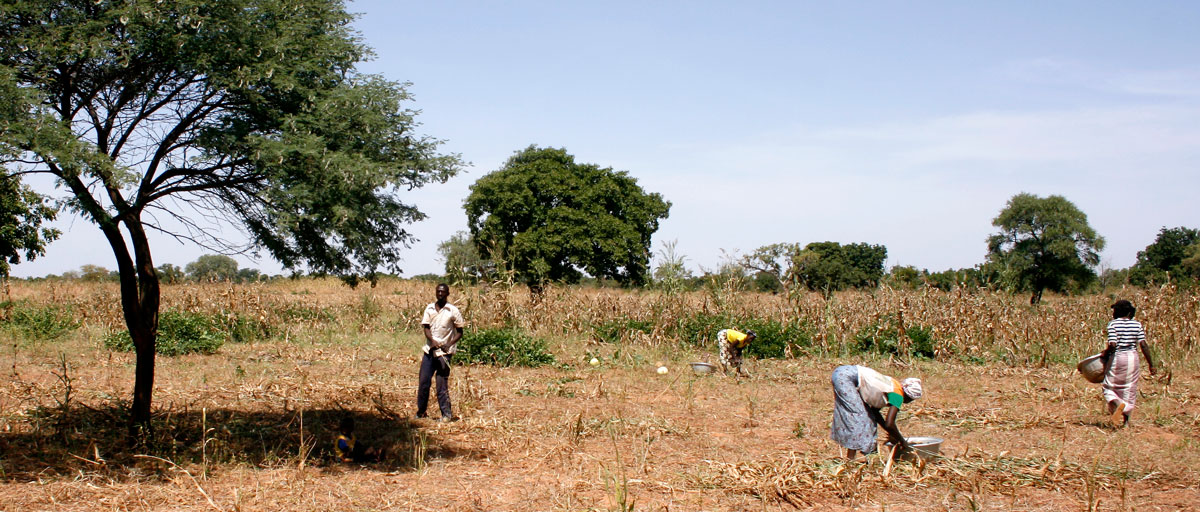
Most current approaches to landscape scale ecosystem service assessments rely on detailed secondary data. This type of data is seldom available in regions with high levels of poverty and strong local dependence on provisioning ecosystem services for livelihoods. We develop a method to extrapolate results from a previously published village scale ecosystem services assessment to a higher administrative level, relevant for land use decision making. The method combines remote sensing (using a hybrid classification method) and interviews with community members. The resulting landscape scale maps show the spatial distribution of five different livelihood benefits (nutritional diversity, income, insurance/saving, material assets and energy, and crops for consumption) that illustrate the strong multifunctionality of the Sahelian landscapes. The maps highlight the importance of a diverse set of sub-units of the landscape in supporting Sahelian livelihoods. We see a large potential in using the resulting type of livelihood benefit maps for guiding future land use decisions in the Sahel.